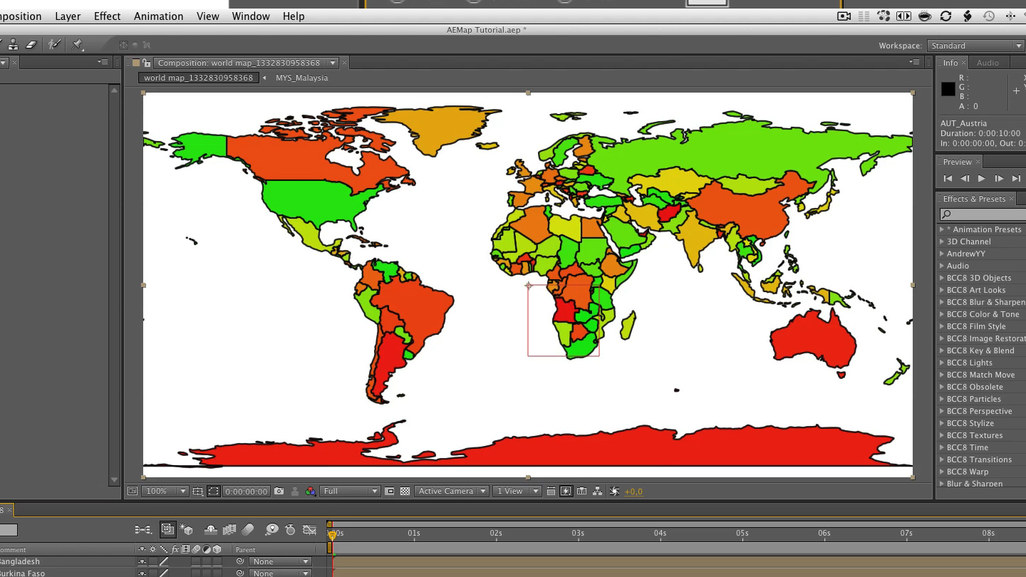
• AEMap
    AEMap

    https://aescripts.com/aemap/

    Creates equirectangular projection maps with 286 separate countries (masks on solids) under 178 jurisdictions (pre-comps). It comes with the "AEMap Utilities" which contains tools for dealing with a bunch of layers and nested comps.

  • I love this script but i only wished it had my tiny country of Bermuda is it possible to add Bermuda to the script in anyway?
  • Hi Jacin,  
    it is possible. I will have a look into that a.s.a.p.

    Cheers
    :fabian
  • Can't find my own lil country of Singapore, is it possible to add it in?
  • Hi Justin,
    yes that can be done. Give me some time and look out for the next version.

    :fab
  • can you make the script draw the map only for the country which I want to choose ?
  • hi Basem,

    right now you could go into the sourcecode and exchange the linked geojson file.  
    I will put your request on my agenda and let me now if I can assist you with the changes.  
    Cheers
    Fabian
  • hi Basem,

    right now you could go into the sourcecode and exchange the linked geojson file.  
    I will put your request on my agenda and let me now if I can assist you with the changes.  
    Cheers
    Fabian
    thank you Fabian .. 

    I will be waiting your new version if you can make my suggestion .. because it will make your script much useful and faster .. and it will be the best script for maps ever
  • " .. and it will be the best script for maps ever"

    Isn't it already? ;-)
  • can we have Gall-Peters projection option too :) thanks
  • Different projections would be cool. I'll put it on the todo list. :-) (its a looooonnng list already)
  • Is there any chance of you adding U.S. states and Canadian provinces to the script? Alternatively is there any way for a user to input them into the script?
  • Hi Joe, 
    I wont add state borders to the script. This would be the overkill but if you are willing to edit the script a bit and use some cartographers trickery, I can advice you how to get your state borders. 

    The data for the outlines is in a format called geojson. with the original dataset I use https://github.com/johan/world.geo.json there are already us state borders. You just have to concatenate the files provided and replace or add them to the data in the script. (See line 26 and following)

    for the canadian borders you'll have to look thru public datasets like on geocommons.com. (maybe this one http://geocommons.com/overlays/1204) and transform the provided csv to geojson. There are tons of tools that can do that. See this blogpost for example http://www.andrewdyck.com/how-to-convert-csv-data-to-geojson/

    Post your progress here and I will assist you.  

    Cheers
    Fabian
  • In the video on the top of your page you load a file from your computer to load the locations but due to the resolution of the video I cannot see what type of file it is. What are the types of files you can use with AEmaps for location data?

  • Hi luke,

    withe the latest version of AEMap.jsx (0.5.0) you don't need to load any data. With Locations.jsx ( https://aescripts.com/locations/ ) you can load .tsv (tab separated values) files.

  • How whould element 3d be used with this ?

    id love to make a globe


  • Hi Mike,

    checkout this tutorial https://vimeo.com/56635698 it shows in depth how to create a globe in Element 3D. You can download the source files and some additional infos here https://github.com/fabiantheblind/3d-earth-locations-aep

    In short?

    - Build a equirectangular map with AEMap
    - precompose
    - Use it as a texture in E3D


    :-)

    Cheers
    Fabian

  • Hi Fabian,

    I am wondering if it is still possible to colorize the countries in different colors? I recall that it was possible when I saw your script around a year or two ago.
  • Hi Thomas,

    yes it still is. Nothing has changed.
  • Thomas,

    check out this tutorial -->  I removed the random color if that is what you mean. You can define colors now from that spread.  
  • HI Fabian!
    Is it still compatible for newer versions, too?
  • Hi Markus,

    I think there should be no problem with it. Just download it and give it a spin. If you run into any error let me know. I'll take a look into compatibility ASAP 
  • Hi Fabian!
    I created a custom GeoJson file for my region in Spain, but AEMAP doesn't create the map properly. Just creates layers at point x0,y0 of theComposition.

     I think my file has the wrong coordinate system. 
    (my GeoJSON file is in ETRS89 / UTM zone 30N (N-E) (EPSG:3042), which is the standard for Spain.

    What is the most compatible coordinate system for the script? Or what can I do to fix this problem?

    I'm sorry if this is confusing
    Ok, nevermind. I think the issue was that my json files were encoded in ANSI instead of UTF-8. I changed the encoding and the script draw the map perfectly. 
    AEMap and Locations are simply brilliant!

    Awesome. Great that it worked out and thanks for the kudos.