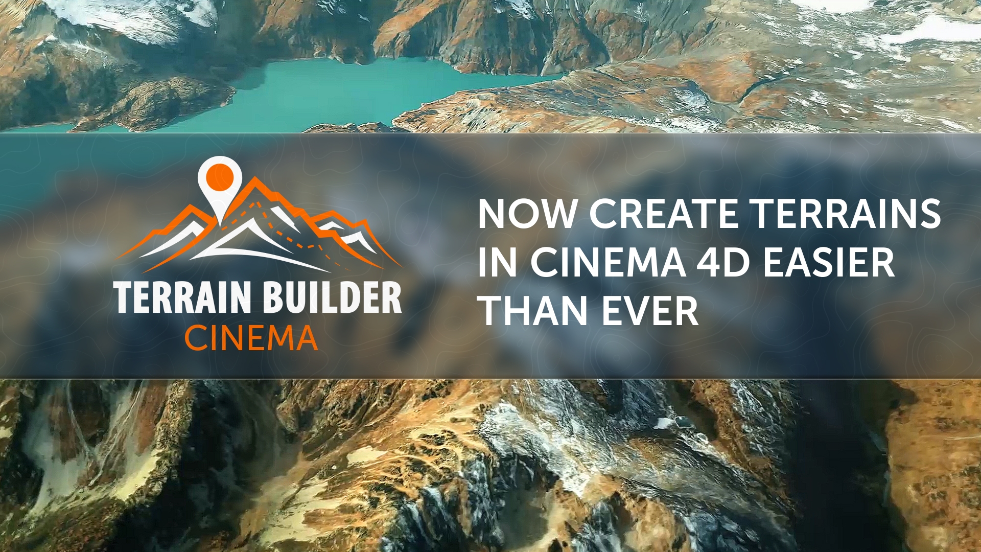
How does this work with map licensing? DEM Earth makes you pay a yearly fee to have access to height and image sat data. Basically...are there any hidden costs with this?
Hello. For elevation maps, I use the open source Tangram Heightmap. Google Maps is used for color maps. I myself pay a small amount for your requests. So no hidden fees!!! All your requests are free of charge!
Google Maps has a limit of 28,500 requests per month is free. Everything above is paid. I have big doubts that you guys will be able to pass this limit. And if you pass. I'll pay for a year in advance.
When I click 'get maps' nothing happens. AKA the browser doesnt open.
I already installed fireshot. And pasted in the map url.
Any tips? The tutorials show r19 being used. And the first step is to save as a preset which isnt really possible anymore. Is there a process in s26 i need to do instead?
When I click 'get maps' nothing happens. AKA the browser doesnt open.
I already installed fireshot. And pasted in the map url.
Strange. And what operating system do you have?Maybe something was changed in the S26 Maxon. I will definitely look at what the problem may be today. Also you must insert only link to the google schematic map. With normal Color map nothing will work.
Remember, the correct link looks something like this: https://www.google.com/maps/@55.8922881,27.2738784,6z This is schematic view from google maps. This link contain coordinates your place. This is really important!
nice and helpful PlugIn ... unfortunately I have the same problem here as Tim Armstrong.
Everything is set up correctly (FireShot etc.), the "Open Google Maps" button also opens the browser directly - in my case Safari (Apple) via C4D R21 - section selected, URL copied (also resembles your pattern), copied, pasted, pressed the "Get Maps" button in the PlugIn and ... nothing happens.
I would be pleased to receive a suggestion for a solution.
Best regards
Dirk
Ok. Problem with Mac. We will try find problem and solve it.
Does this work with renderers like Redshift and/or Arnold?
Thanks!
A great idea for an update. Today I will add a render selector.
No, I won't. Because if I put a light setup from a Redshift, the user who does not have it will get errors. But all renderers perfectly support standard shaders and light sources. So there shouldn't be any problems.
Thanks, but you didn't really answer the question. There are many screenshot tools, including the ones built in to the Mac OS. Is there some reason those tools can't be used, as in, is there something FireShot is doing that those other tools are not that is necessary for them to work with Terrain Builder?
And again, what is your refund policy?
All you need is a tool that can capture the entire page, not just the visible part of it. There are a lot of such tools. It is not necessary to use FireShot. There may be a refund if the tool does not work in C4D, and the problem is not fixable by updates. We try to close all the problems that arise. I clearly showed how the tool works in the preview. What can be your claim for a refund?
The tool is undergoing active development. In the coming months, we will add a lot of cool chips. And we will try to load the cards directly in the C4D. We are doing this now.
Yes! We have found a way to make a trial version for you.
The trial version contains the following limits: - Only 2K maps - Watermarks on Google Maps texture - Low terrain resolution - Not support "Snazzy maps" styles - Not support "Schematic Google Maps" style
But this should be enough for you to test your system and our pipeline.Thank you!
Thanks, but you didn't really answer the question. There are many screenshot tools, including the ones built in to the Mac OS. Is there some reason those tools can't be used, as in, is there something FireShot is doing that those other tools are not that is necessary for them to work with Terrain Builder?
And again, what is your refund policy?
All you need is a tool that can capture the entire page, not just the visible part of it. There are a lot of such tools. It is not necessary to use FireShot. There may be a refund if the tool does not work in C4D, and the problem is not fixable by updates. We try to close all the problems that arise. I clearly showed how the tool works in the preview. What can be your claim for a refund?
The tool is undergoing active development. In the coming months, we will add a lot of cool chips. And we will try to load the cards directly in the C4D. We are doing this now.
Thanks for the trial. I will test it before buying.
GET MAPS button doesn't work, so neither does the plugin. The plugin claims to be compatible with S26.
I think I figured out what the problem might be. After you have loaded the preset into an empty scene, you must definitely save it. Pages with your coordinates should be saved to this folder. I will make a warning message if this is not done in the next update. Sorry for the inconvenience! We are also currently working on a new system that will allow you to save maps directly to C4D.
1.Not sure if its possible with the way this is set up, but it would be a great update if you are able to create a way to stitch and tile multiple 4k maps together seamlessly.
2. A 1 click redshift conversion option that links the height map settings from the preset to the node displacement and rs tag displacement settings. So you can design the look with the preset, and then just switch over to redshift when you are ready with everything intact.
Cheers!
If I install at least one of the redshift modules, then the user who does not have it will get an error. I think it's not a good idea.
1.Not sure if its possible with the way this is set up, but it would be a great update if you are able to create a way to stitch and tile multiple 4k maps together seamlessly.
Now we are working on a system that would allow you to receive maps directly in C4D.
DEM Earth makes you pay a yearly fee to have access to height and image sat data.
Basically...are there any hidden costs with this?
Thanks Oleg.
The tutorials show r19 being used. And the first step is to save as a preset which isnt really possible anymore. Is there a process in s26 i need to do instead?
Also you must insert only link to the google schematic map. With normal Color map nothing will work.
https://www.google.com/maps/@55.8922881,27.2738784,6z
This is schematic view from google maps. This link contain coordinates your place. This is really important!
Hello Oleg,
nice and helpful PlugIn ... unfortunately I have the same problem here as Tim Armstrong.
Everything is set up correctly (FireShot etc.), the "Open Google Maps" button also opens the browser directly - in my case Safari (Apple) via C4D R21 - section selected, URL copied (also resembles your pattern), copied, pasted, pressed the "Get Maps" button in the PlugIn and ... nothing happens.
I would be pleased to receive a suggestion for a solution.
Best regards
Dirk
https://www.idownloadblog.com/2021/04/08/capture-full-page-screenshots-safari-firefox-chrome-mac/
What is your refund policy if I purchase Terrain Builder but can't get it to work properly on my Mac?
Thanks
https://chrome.google.com/webstore/detail/awesome-screenshot-and-sc/nlipoenfbbikpbjkfpfillcgkoblgpmj?hl=en
The tool is undergoing active development. In the coming months, we will add a lot of cool chips. And we will try to load the cards directly in the C4D. We are doing this now.
The trial version contains the following limits:
- Only 2K maps
- Watermarks on Google Maps texture
- Low terrain resolution
- Not support "Snazzy maps" styles
- Not support "Schematic Google Maps" style
But this should be enough for you to test your system and our pipeline.Thank you!
Past link must be this format:
https://www.google.com/maps/@51.4980926,34.0612833,5z
Also update Trial version.Please check it!
All users who have had problems with "Get Maps" button, please write under this message. Is everything working fine now?
Also you can fast find it if write %appdata%