GEOlayers 3
-
Compatibility After Effects Please check exact version compatibility under the "COMPATIBILITY" tab below
 Adding to cart...
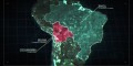
GEOlayers 3 lets you design and animate maps directly in After Effects.
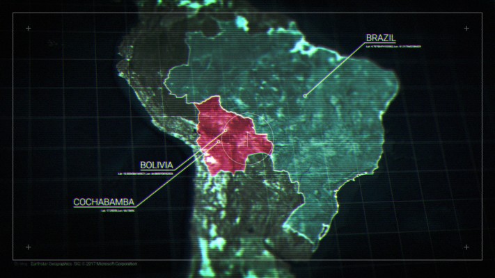
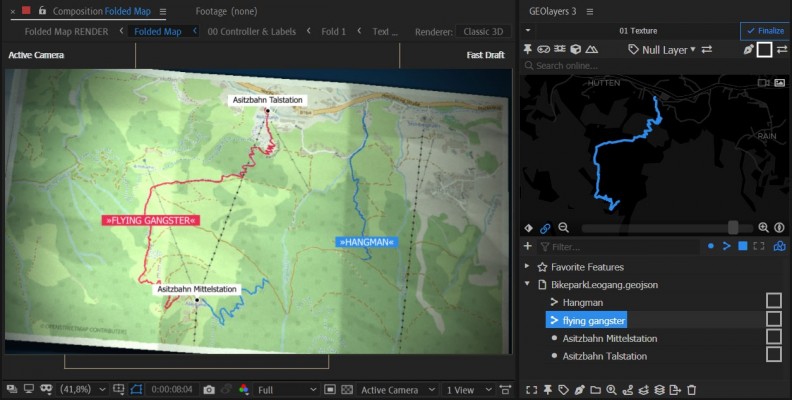
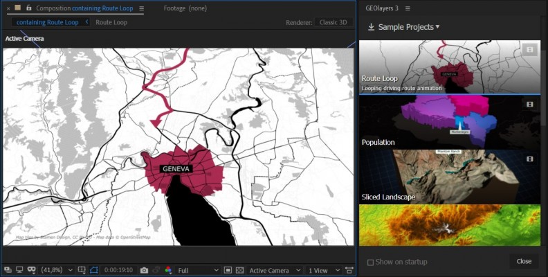
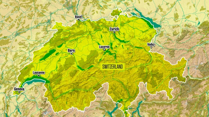
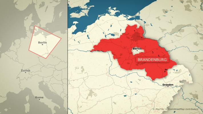
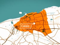
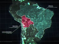
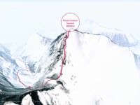
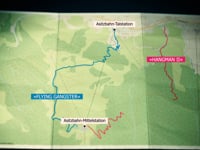
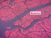
It renders custom maps for you from different online data sources. It also provides direct access to extensive databases of geospatial features of the world. You can easily draw buildings to After Effects shape layers, highlight country borders, streets, lakes, rivers, places, regions, animate driving routes, and extrude buildings. Anything in the world that has geodata can be integrated as an editable asset in After Effects.
GEOlayers 3 comes with a large set of default map styles. But that's not all. One-click lets you create a style from the colors of a composition, an image or Adobe Swatch file. You can also retrieve imagery from any common image-based tileserver. Platforms such as MapTiler Cloud can bring all its advantages of customizable basemaps directly into After Effects.
Purchase GEOLayers 3 with Helium X, Mettle FreeForm Pro or Rowbyte Plexus and get bundle discounts. Discount is automatically added when you add both products to the shopping cart.
Check out the Bundle Offers
What's new in GEOlayers 3
Version 3 is rebuilt from scratch. Since version 2, we've been collecting user input and improving the extension. GEOlayers 3 has been developed to fit your needs.
- New UI
- Maps can be pitched and rotated in 3D
- Automatic Labels
- Mapstyling directly in After Effects
- Faster Finalization
- Scripting API ...and much more
In order to make all this possible, After Effects CC 2015 (13.6) or higher is required. Legacy projects created with GEOlayers version 1 or 2 are not supported by GEOlayers 3. You can still import old GEOlayers 2 server profiles, shape layer styles, and label templates.
Features
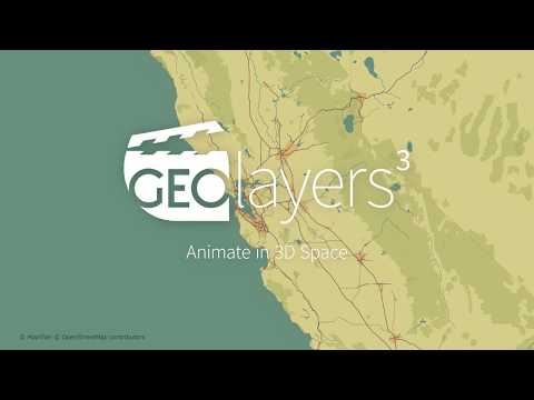
Animate in 3D Space
Intuitive controls to animate maps in 3D space
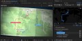
You can scroll, zoom, pitch, and rotate your maps inside After Effects, create keyframes and animate them. GEOlayers 3 renders all the imagery for your animation.
learn moreOnline Search
Find geographical features online
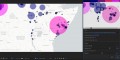
Search online for countries, cities, famous buildings, points of interest, and much more. The features you find can be labeled in your animation, they can be drawn to your map, downloaded, and even exported out for further analysis in an external GIS program.
Mapstyling
Style your maps however you want
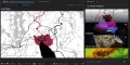
You can style maps directly inside After Effects. Choose colors, adjust the line width, swap fonts, add hillshading to your maps and even show and hide certain groups of features. Note that for full control a MapTiler Cloud account is required.
learn moreLabels
Add labels to your animation
Label features with one click. Use and customize the default label templates or feel free to create your own ones. Every After Effects composition can be used as a label template.
learn moreData Visualization
Create Data-driven shape layer styles.
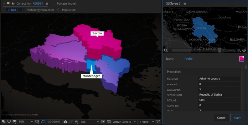
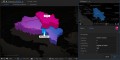
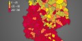
GEOlayers 3 allows you to easily import datasets in .csv or .tsv file format. Data-driven styling helps you to quickly visualize datasets in After Effects compositions with just a few clicks.
learn more3D Landscapes
Create 3D landscapes with one click
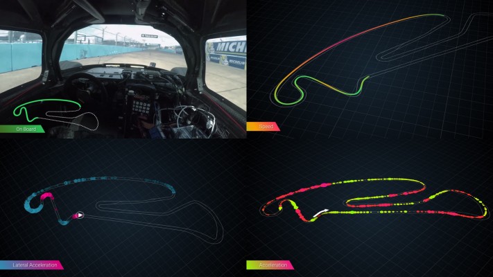
If you have Helium, Mettle FreeFormPro, Rowbyte Plexus or Trapcode Mir installed you can create gorgeous 3D landscapes setups in one click. You can achieve stunning animations based on real elevation data.
learn moreBundle Offers
*Bundle discounts cannot be combined with other discounts or offers.
Helium X
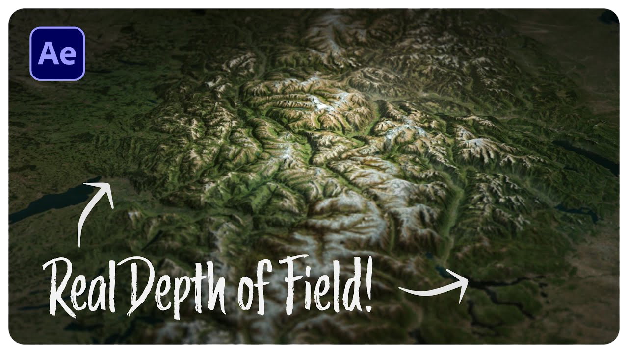
- Realistic shading
- Full interaction with native AE 3D environment
- Fog, Shadows and Depth of Field
- Includes Helium AI, Stable Diffusion powered image generation plugin
Please note that Helium X is a subscription that needs to be purchased independently from GEOlayers.
Purchase Helium first, then place a second order for GEOlayers and you will receive a 25% discount on GEOlayers.
Mettle FreeForm Pro
- Realistic shading
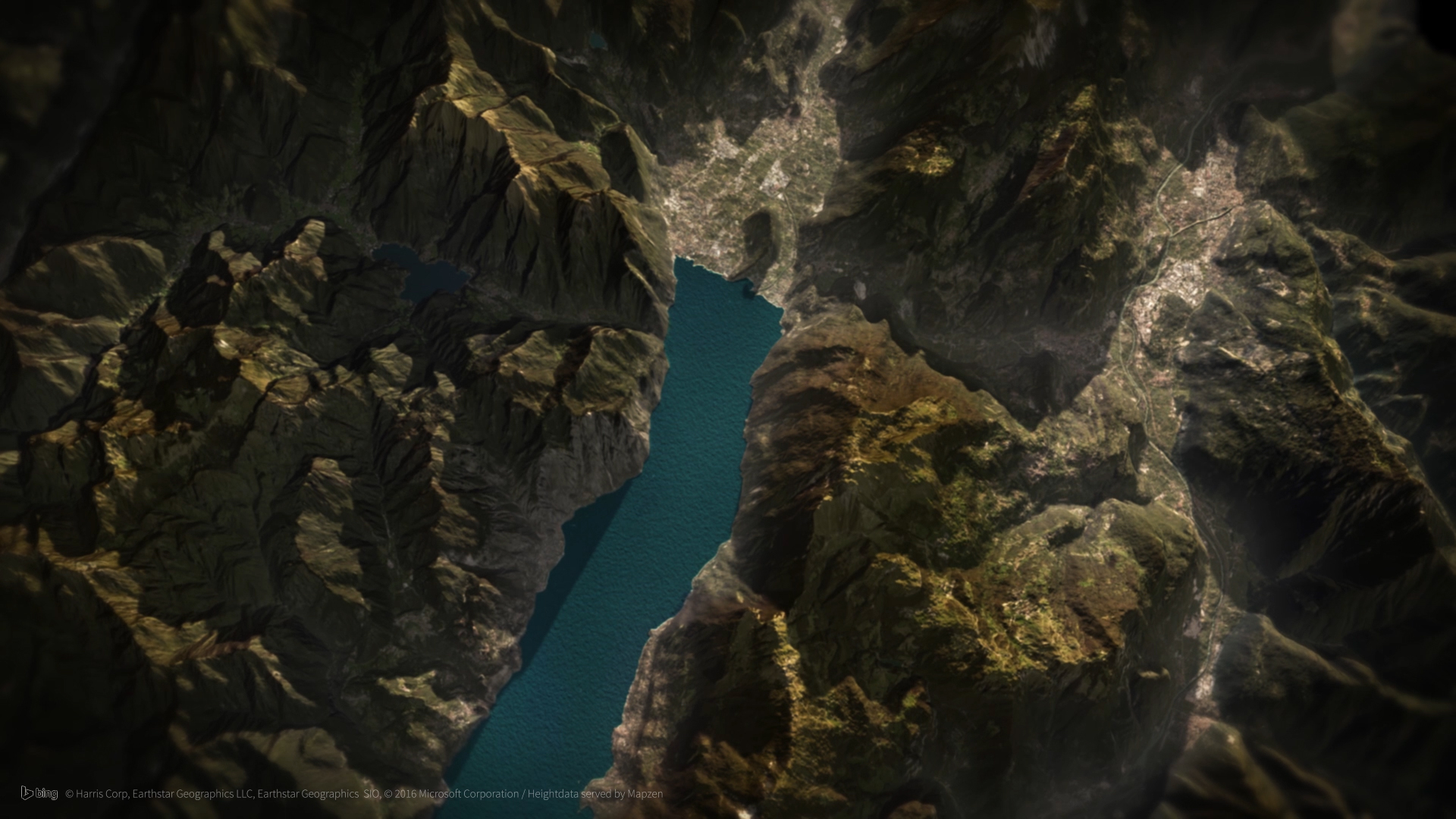
- Multiple Material Channels on one surface
- Fog and Mist
- Shadows
- Skydome
Purchase GEOLayers with Mettle FreeForm Pro and save 25% on both
Please note discount only applies to new full licenses
Rowbyte Plexus 3
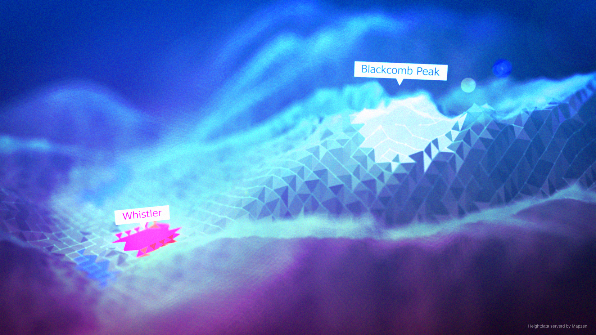
- vector-style look
- Point, Line and Facet renderers
Purchase GEOLayers with Rowbyte Plexus 3 and save 25% on both.
Please note discount only applies to new full licenses
User Guide Video Tutorials
MapTiler Cloud
An easy way to license mapdata for your video projects.
There is a very easy way to access and license mapdata for your commercial and non-commercial projects.
By buying a license for GEOlayers 3 you can check out OpenStreetMap-based data powered by MapTiler Cloud for two weeks. This empoweres GEOlayers 3 to style maps directly inside After Effects, automatically create mapcomp labels in different languages, and a lot more. After the two weeks you can of course use GEOlayers 3 without any additional cost. The data subscription is fully optional and can be purchased only as you need it.
If you want to continue using MapTiler Cloud you can create an account there and connect GEOlayers.
What's MapTiler Cloud for?
It empowers the following features of GEOlayers 3:
- A data license for your comercial projects
- High quality maps of the whole globe
- Style maps directly inside After Effects
- Find OpenStreetMap Features by clicking the preview map
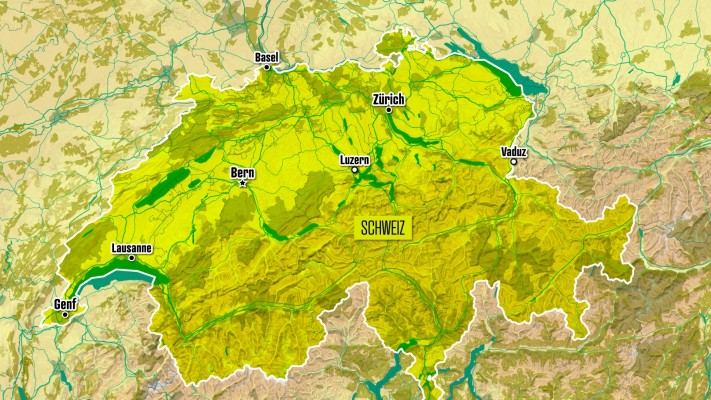
- Mapcomp Labels in different languages
- Watermask Mapcomps
- Feature import for the current view
- 3D Building drawing
Apart from that you get:
- Access to the MapTiler Cloud platform
- Advanced map styling
- Additional datasets
- Upload your own datasets
- Use your maps on the web seamlessly
- and much more...
Upgrade Notice
GEOlayers 3 is a major new version re-written from the ground up. If you own GEOlayers 2, you can upgrade for $205 (SUL license price, Floating is higher). To upgrade from GEOlayers 1 the upgrade is $255. To upgrade simply login to the same account you made the original purchase with. If you have any questions or need assistance please open a support request
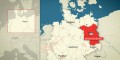

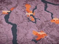
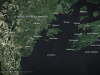
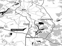
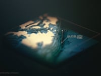
Showcases


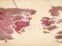

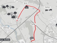

Tutorials







| After Effects | 2024, 2023, 2022, 2021, 2020, CC 2019, CC 2018, CC 2017 |
|---|
1.8.0 (Current version) - Jul 5, 2024
-User authentication Error during startup
1.7.2 - Apr 18, 2024
-Natural Earth Inner Boundaries for some Countries are messed up
1.7.1 - Jan 5, 2024
-Creating a Feature Mesh in the Browser with one Feature and a Collection selected will create one-to-all lines instead of all-to-all lines
1.7.0 - Dec 17, 2023
-GEOlayers MapStyler is accidently shown in Extensions Menu
1.7.0 - Dec 5, 2023
-Disputed Borders can be toggled on and off on MapTiler Imagery Styles Basic, Advanced and Lite
1.6.6 - Nov 28, 2023
-Natural Earth Data update
Bugfixes:
-Default Tiles in Universal Raster Style are not shown in some cases
-Minor Fixes
1.6.4 - Oct 9, 2023
See how you can migrate your GEOlayers Projects: https://vimeo.com/872558334
1.6.3 - Aug 30, 2023
-Downloading a Search Result errors in some cases
1.6.2 - Aug 18, 2023
-Some Features can not be subtracted or merged
1.6.1 - Jun 18, 2023
-Welsh Language support
Bugfixes:
-Provider Attribution is aligned wrong if Paragraph is set to Right-To-Left
-aesp upgrade
1.5.7 - Apr 16, 2023
-Preview Map is blank
1.5.6 - Mar 24, 2023
-Overpass service gets chosen automatically by response time and number of available slots
1.5.5 - Mar 2, 2023
-MapTiler search results are no longer displayed
1.5.4 - Nov 24, 2022
-Labels of the same Place get the same Layer name, leading to in incorrect working expressions
-Natural Earth States and Provinces display only Line Features
-Setting up a File for the Search without an url leads to open file popups during each search
1.5.3 - Oct 19, 2022
-MapTiler Search only finds Point Features
-Features with an empty coordinates array error out on import
-Close Undo Groups on each host call manually
-Hidden Pref to purge Undo Cache on each host call in order to prevent AE Undo Grouping Bugs
1.5.2 - Aug 17, 2022
Bugfixes
-Renderer gets not set to CINEMA4D when drawing Extruded Features
-Project Color Space gets set to "None" on 3D Landscape creation due to problems with the "Calculations" Effect used on the heightmap
1.5.1 - Jun 14, 2022
-MapTiler Satellite Imagery V2
Bugfixes
-Mapcomp Labels do not display dots anymore
1.5.0 - Apr 26, 2022
-Helium Plugin support for 3D Landscapes
-Removing a Mapcomp with others linked to it will give you the option to remove all linked ones too
-Language Support for Irish (Gaelic) and Scottish Gaelic
-File Search Api supports zipped shapefiles
Bugfixes
-New AE Preference "Default Position Properties to Separate Dimensions" leads to Errors
-small fixes
1.4.2 - Nov 12, 2021
-Almost every file can be imported from a remote url holding CTRL/CMD while clicking the import btn
-Styles based on a url source can be updated with one click
-Feature Collections based on a url source can be updated with one click
1.4.1 - Oct 4, 2021
-Pointers of the default label templates don't follow the label's anchor point anymore
1.4.0 - Oct 1, 2021
-MapTiler Lite Imagery free for non-commercial projects
-Pinned Layers and Labels are indicated by "(pinned)" suffix in layer name
-precompose_feature_shape_layer.jsx default script to precompose drawn features
-Car, Bike and Pedestrian Routes are imported without Maneuver Points by default (Can be changed in the prefs)
-Map Bounds are supported for Raster Styles
-{year}, {month}, {date}, {dateISO} variable support in tile Uris
Bugfixes
-Labeling empty Feature Collections freezes the panel
-Rejected server requests can lead to black holes in tiles
-Blocked preview map for Mapcomps with min and/or max zoom when mapcomp sync is off
-Empty previews for Mapcomps with min zoom
-add_line_patterns.jsx default script fails if layer has allready effects applied
1.4.0 - Oct 1, 2021
-MapTiler Lite Imagery free for non-commercial projects
-Pinned Layers and Labels are indicated by "(pinned)" suffix in layer name
-precompose_feature_shape_layer.jsx default script to precompose drawn features
-Car, Bike and Pedestrian Routes are imported without Maneuver Points by default (Can be changed in the prefs)
-Map Bounds are supported for Raster Styles
-{year}, {month}, {date}, {dateISO} variable support in tile Uris
Bugfixes
-Labeling empty Feature Collections freezes the panel
-Rejected server requests can lead to black holes in tiles
-Blocked preview map for Mapcomps with min and/or max zoom when mapcomp sync is off
-Empty previews for Mapcomps with min zoom
-add_line_patterns.jsx default script fails if layer has allready effects applied
1.4.0 - Oct 1, 2021
-MapTiler Lite Imagery free for non-commercial projects
-Pinned Layers and Labels are indicated by "(pinned)" suffix in layer name
-precompose_feature_shape_layer.jsx default script to precompose drawn features
-Car, Bike and Pedestrian Routes are imported without Maneuver Points by default (Can be changed in the prefs)
-Map Bounds are supported for Raster Styles
-{year}, {month}, {date}, {dateISO} variable support in tile Uris
Bugfixes
-Labeling empty Feature Collections freezes the panel
-Rejected server requests can lead to black holes in tiles
-Blocked preview map for Mapcomps with min and/or max zoom when mapcomp sync is off
-Empty previews for Mapcomps with min zoom
-add_line_patterns.jsx default script fails if layer has allready effects applied
1.3.0 - Aug 2, 2021
-Import Polygon, Line & Point Features from Shape Layers
-Collapse linked Mapcomps in the Mapcomp List
-Mapcomp naming supports leading zeros automatically (Mapcomp 01, Mapcomp 02...)
-Click remove Features holding SHIFT to clear the whole browser
-Click export Features holding SHIFT exports all features exept your favorites to a features.geojson beneath the project.
-Current View Transport Features have separate ramps
-AE v22 support
-About window shows Build Nr and indicator for Prerelease version
-Help update
1.2.6 - Jun 22, 2021
-Property Diagrams
-Directly queue Renders after finalization
-Confirm Dialog before removing a Mapcomp
-Shape Layer Transform Properties can be locked (Preferences)
-Mapcomp Filter for Styles and Labels are displayed as fullscreen panel
-UI Improvements
Bugfixes
-Mapcomp filters for Label Templates and Shape Layers styles are not loaded from the project on init
-Advanced Style shows black polygons if street density is set to 5
-Pinned Layer Rotation is messed up if rotate with map is switched on and layer is rotated other than 0,0,0 xyz
-Small fixes
1.2.6 - Jun 21, 2021
-Property Diagrams
-Directly queue Renders after finalization
-Confirm Dialog before removing a Mapcomp
-Shape Layer Transform Properties can be locked (Preferences)
-Mapcomp Filter for Styles and Labels are displayed as fullscreen panel
-UI Improvements
Bugfixes
-Mapcomp filters for Label Templates and Shape Layers styles are not loaded from the project on init
-Advanced Style shows black polygons if street density is set to 5
-Pinned Layer Rotation is messed up if rotate with map is switched on and layer is rotated other than 0,0,0 xyz
-Small fixes
1.2.5 - May 21, 2021
-Dashed Strokes can have round caps
-Multi Polygon Shapes are rendered faster due to a different shape layer content structure
-Line Features from csv data can cross the date border
-Label renaming dictionaries can be loaded from files
Bugfixes
-MapTiler Satelite Imagery seems blurry
-Keyframe easing in animations created with 'Animate View to Feature' can be wrong in some cases
-DEM tilerequests to servers without a valid response can lead to finalization stalls
-Small fixes
1.2.5 - May 21, 2021
-Dashed Strokes can have round caps
-Multi Polygon Shapes are rendered faster due to a different shape layer content structure
-Line Features from csv data can cross the date border
-Label renaming dictionaries can be loaded from files
Bugfixes
-MapTiler Satelite Imagery seems blurry
-Keyframe easing in animations created with 'Animate View to Feature' can be wrong in some cases
-DEM tilerequests to servers without a valid response can lead to finalization stalls
-Small fixes
1.2.4 - Apr 26, 2021
-change Mapcomp duration via Mapcomp Settings (also changes related Mapcomp's durations)
-.tcx file import
-keyframes created by a data-driven property can have non-linear timing
-UI improvements
Bugfixes
-Strange Keyframe interpolation on Zoom leads to expression errors
-Mapcomps with lower zooms than the minzoom of the imagery can end up in extremely long loading times
-Small fixes
1.2.3 - Mar 26, 2021
-If GEOlayers creates an animation it will show a prompt to adjust its duration
-Features can be drawn with time offsets (also data-driven by its properties!)
-Labels can be added with time offsets (also data-driven by its properties!)
-Labels can be swapped no matter which Mapcomp is selected
-UI Improvements
Bugfixes
-Adding a Current View Feature to the browser fails if the view can not be geocoded
-Small fixes
1.2.2 - Feb 12, 2021
-Multiple Sources can be used for the Feature Search
-Natural Earth Search API
-Browser Search API
-Browser Downloads Search API
-File Search API (http urls supported)
-Folder Search API
-GitHub Search API (public repos)
-Preload Features for Search on startup
-Improved Feature Preview in Search
-Feature Preview can show bounding boxes (check the preferences to enable it)
-CTRL/CMD Click "Import File" in the browser to import from a remote url
-Circles Imagery for DataViz
-Features of Collections can be sorted by Name
-Default Features can also be loaded by http/https
-Multiple Custom Imagery Styles can be im- and exported in the preferences
-Csv files separated by ";" supported
Bugfixes
-Errors handling Multipoint Geometries
-Mapcomp Views drawn by the default script are not rendered at higher zooms
-Custom Label Template Project is not loaded
-geolayers3.githubBrowser() can't show repos with no 'master' branch
-Small fixes
1.2.1 - Jan 29, 2021
-Data driven color is prviewed with a gradient in the UI
-Merge Features is not blocking the panel and can be canceled
-Subtract Features is not blocking the panel and can be canceled
-Creating Lines from Polygons is not blocking the panel and can be canceled
-Simplifying Feature Topologies is not blocking the panel and can be canceled
-geolayers3.addToBrowser() options for naming features
-geolayers3.getBrowserSelection()
-Label Renaming set up in the prefs also works for Template Labels apart from Mapcomp Labels
Bugfixes
-Preview map is not updating on editing styles in the create mapcomp dialog
-Small fixes
1.2.0 - Jan 7, 2021
-Quick Start Buttons
-Simplify Geometry by max Zoom
-Dash Speed in Shape Layer Styles
-Preserve Transparency in Shape Layer Styles
-Features are drawn multiple times if they cross the date line
-Natural Earth Admin Boundaries Imagery
-Natural Earth Staes and Provinces Lines Dataset in Feature download
-Inner Boundaries Feature for each country in 'Find Features at Coordinate'
-Improved Natural Earth Data search by name
-Automatic label point improvements (Now allways centered inside largest polygon)
-Accurate topology geometry simplification (for polygons with shared borders)
-ALT/OPT clicking scripts in the toolbar shows their description
-CTRL/CMD clicking scripts in the toolbar reveals the file on your machine
-add_line_pattern.jsx default script
-blend_in_and_out.jsx default script
-north_needle.jsx default script
-geolayers3.githubBrowser() can for example be used to import geojson files directly from github
-geolayers3.draw()
-geolayers3.drawBrowserSelection()
-geolayers3.removeBrowserSelection()
-help update
Bugfixes
-Dashed shape layer lines cause expression errors if ae project is set to legacy expression engine
-Only the top half of the "Create Mapcomp" Button on top of the panel is visible
-Natural Earth Mapcomp Label Rank fixes
-Small fixes
1.1.9 - Nov 27, 2020
-MapTiler Cloud integration
-Natural Earth Imagery
-Natural Earth Water Mask
-Natural Earth Mapcomp Labels
-Added Natural Earth Physical Areas Land & Water to Feature download
Bugfixes
-Small fixes
1.1.8 - Nov 19, 2020
-Preview map is displayed in default language set in the prefs
-Drawing Options like "simplify geometry", "Auto Stroke Width", "individual layers" ect. are saved in the .aep
-Water visibility separate for oceans, lakes and rivers in Basic and Advanced Imagery
-Choropleth Mapcomp Imagery style for large datasets
-Merge Features in Feature Collections by name
-Pick local tile directories in Imagery setup
-geojson file sequence import
Bugfixes
-Natural Earth Feature download errors out
-3D Landscape Heightmaps and Labels are offset in AE 17.5
-Add Null to Feature doesn't work
-Expression Errors on too large zoom values
-Memory leaks on web workers rendering tiles with larger datasets
-Empty expressions on MapPivot layer
-Small fixes
1.1.7 - Sep 28, 2020
-Create Arrows from the toolbar
-Dashed lines with Auto Stroke Width look better during zooms (Check out the help and search for "Dash Zoom Threshold")
-Default Features to be loaded on starting the Extension can be set in the preferences
-Create a scale bar with the scale_bar.jsx default Script
-Create Arrows from Shape Layer Paths with shapes_to_arrows.jsx default Script
-geolayers3.addToBrowser() supports importing features by osm id
-help update
Bugfixes:
-can't add null to Feature
-Small fixes
1.1.6 - Jul 20, 2020
-Filter Label Templates and Shape Layer Styles by Mapcomp. Right-click their filterbars to set this up.
-'Draw Mapcomp View' default script.
-Advanced Imagery Style has extra color for rail.
-geolayers3.filesInDir()
-geolayers3.importProject()
-geolayers3.modalActions()
-geolayers3.modalEditObject()
-Create Log files
-help update
Bugfixes:
-Small fixes
1.1.5 - Jun 28, 2020
-Default Comp specs (Size, Duration, Framerate) can be set in the preferences
-Feature Properties for a whole Feature Collection can be exported to a csv or tsv file
-Feature Properties for a whole Feature Collection can be imported from a csv or tsv file
-GEOlayers asks for missing data if a feature can't provide all Label Template data fields
-Minor UI improvements and new hints
Bugfixes:
-Label Templates are not updated after switching project
-Click the UI map to select line features between two verticies does not work
-Small fixes
1.1.4 - Jun 2, 2020
-Bing Imagery Dark, Light, Gray added
-Bing Imagery different language support
-Duration of timed data is displayed in the Feature Properties
Bugfixes:
-Drawing on individual layers errors out in some cases
-Shape Layers created to draw on don't work correctly on larger scales
-Swapping Shape Layer Styles doesn't apply different layer blending modes
-Adjusting the label position of trimmed linestrings doesn't work as expected
-Swapping a shape layer style to a style saved in a project created with a previous version of GEOlayers doesn't work
-Layers pinned with a previous version of GEOlayers break when their expressions get updated
-Small fixes
1.1.3 - May 19, 2020
-Feature's Label position can be dragged around and centered in the feature properties panel
-Unpin pinned layers or labels by clicking the pin layer button in the toolbar again
-Language support for Natural Earth Data
-UI animations... ok, ok, not really a feature. But so nice to look at!
-help update
Bugfixes:
-Small fixes
1.1.2 - May 11, 2020
-Shape Layer Styles support layer blending modes
-Pinned Layers' animated position can be controlled via "Position Progress" slider
-Max Zoom can be set in the Mapcomp Settings
-In the Mapcomp Label settings you can find a button to create Label Templates
-Sample Project Elevation
-Help update
Bugfixes:
Point Features are sometimes not rendered depending on the zoom and the selected comp renderer. Especially CINEMA 4D
-Connect features crossing the date border doesn't work as expected
-Some Imagery Style Textures are filtered wrong ending up in slightly blurry imagery
-Overzoomed Raster Imagery is placed with lower zoomlevel tiles in AE instead of overzoomed textures rendered in the tiles
-Imagery from Raster Styles above its max zoom are rendered wrong
-Swap Label Template errors
-Small fixes
1.1.1 - Apr 29, 2020
-Panel won't init on some machines
-Error on swap Label Template
1.1.0 - Apr 26, 2020
-Click the preview map to select Features in the Browser
-Pinned Layers have Separate Properties for Latitude, Longitude and Height for better control and reduced interpolation inaccuracy
Bugfixes:
-Animate View along single Feature doesn't work with certain Features
-Subtract Features doesn't work in some cases
-Layers animated along Features on street scale are not positioned exactly
-Small fixes
1.0.9 - Apr 7, 2020
-Pick Shape Layer Styles from Layers or certain Shape Layer Content Groups
-Points inside Polygons tools in Browser
-Browser Filter performs a looooot faster
-Browser only shows necessary Feature Collections on filtering
-Create Data-driven Styles with one click from a Feature Collections Properties panel
-Open http link properties in the browser from a Featutes Properties panel
-Animate the view along multiple selected Features
-geolayers3.addToBrowser supports geojson urls directly
-autorun.jsx can be run automatically on opening a project
-Tilemerger supports tms servers
-geojsons next to the project get loaded automatically when a project is opened via the projects panel
-help updates
Bugfixes:
-Labeling Features named by a certain prop error out
-GEOlayers Mapdata Mapstyles show disputed borders
-Small fixes
1.0.8 - Mar 28, 2020
-Coronavirus animated timeline Sample Project
-Animated Data Driven Styles
-Animated Label Text
-Browser filters faster
Bugfixes:
-Small fixes
1.0.7 - Mar 20, 2020
-Stroke outlines for Shape Layer Styles
-Stroke join defaults to round
-Mapcomp Settings for Motion Blur
-Default Scripts (blink.jsx, stagger_layers.jsx)
-Create Line Mesh from Polygon Features with common borders
-Data Driven Style interpolation curve 'Circle Area' for Points
-Configurable Feature Cache Paths (hidden pref)
-En/Disable GEOlayers Mapdata (Click the green "GEOlayers Mapdata" icon in the prefs)
Bugfixes:
-Swap a shape layer style with extrusion doesn't adapt the anchor point accordingly
-Panel doesn't start for System Usernames with special characters ($)
-Small fixes
1.0.6 - Feb 10, 2020
-Icon & Locator Label Templates
-Hold SHIFT selecting a Label Template to reveal its LabelColors comp if it has one.
-Hold ALT selecting a Label Template to reveal it in your AE project.
-Global Dataset Lakes can be downloaded to the browser
-Global Dataset Rivers can be downloaded to the browser
Bugfixes:
-Nominatim responses without geometry fallback to a point geometry
-Large OSM feature downloads freeze the panel
-Small fixes
1.0.5 - Jan 27, 2020
-3d building extrusion is independent from the zoom when you draw them from the toolbar
-help updates
Bugfixes:
-Some 3d buildings are drawn with a hull
-small fixes
1.0.4 - Jan 11, 2020
-Globe Sample Project using Video Copilot Orb plugin
-Click the preview map to find Features (only available with GEOlayers Mapdata Subscription)
-New Mapcomp Imagery Style "Advanced"
-Filter Label Templates and Shape Layer Styles by name
-Label layers update their markers from the source comp. Pretty neat for responsive timing.
-Label Templates can default to Scale or Rotate with the Map according to effect controls on their "Label Anchor Point" layer
-Run scripts from the toolbar
-Maps in square or portrait formats can be pitched more
-ScriptingApi: geolayers3.addToBrowser()
-ScriptingApi: geolayers3.clearBrowser()
-help update
Bugfixes:
-Car, bycycle and pedestrian routes can't be created anymore
-Text Layers can't directly be pinned to a Mapcomp
-Randomize Color does not work in some cases
-Tilemerger requests invalid tile urls on longitudes smaller than -180 degrees which ends up in mixed up imagery from some servers
-Small fixes
1.0.3 - Nov 29, 2019
-shape layer style thumbnails show stroke width relative to the min and max in the displayed set
-property names of .csv imports are getting trimmed to remove leading whitespace
-bugfixes
-help update
1.0.2 - Nov 5, 2019
-bugfixes
1.0.1 - Oct 30, 2019
-geolayers3.geocode()
-geolayers3.watch()
-geolayers3.watchCsv()
-geolayers3.unwatch()
-new examples
Bufixes:
-"Can't set work area duration" Error on 3D Landscape creation
-Mapcomp Anchor Layers can't be pinned to Mapcomps anymore
-the source items of Mapcomp Anchors are named accordingly
-finalization stalls in some cases
-swap Shape Layer Style errors: "Unvalid Object"
1.0.0 - Oct 11, 2019
0.9.3 - Oct 5, 2019
0.9.0 - Sep 27, 2019
-reveal label template comp (ALT Click)
-collective feature properties
-bugfix opening sample projects
-fixes
-help update
-
- Compatibility After Effects
FreeForm Pro
Pro-Level 3D Mesh Warp Plug-in for After Effects. Use with GEOlayers to create 3D terrains based on real data. Purchase them together and save 25%Add to Cart
-

- Compatibility After Effects
animationPATTERNSpro
animationPATTERNSpro is a keyframe based easing assistant that allows you to edit and create new easing typesAdd to Cart -

- Compatibility After Effects
Pointers
Snap any position property to any layer. No matter if it is 3D, 2D or parented. Pointers does all the complicated math for you.Add to Cart -

- Compatibility After Effects
animationPATTERNS
animationPATTERNS is a keyframebased easing assistance, that allows you to edit and create new easing types.Add to Cart -

- Compatibility After Effects
Plexus 3
Add to CartNow with Multi-Frame Rendering (MFR) Support! Rowbyte Plexus is a next-gen particle engine for After Effects that lets you create, manipulate and visualize data in a procedural manner. Not only you can render the particles, but also create all sorts of interesting relationships between them based on various parameters.
$249.99 As low as: $199.99 -

- Compatibility After Effects
iExpressions 3
Add to CartCreate complex expression-driven templates, character rigs, shape animations and more without writing any code!
-
- Compatibility After Effects
Pointers
Snap any position property to any layer. No matter if it is 3D, 2D or parented. Pointers does all the complicated math for you.Add to Cart$14.99 -
- Compatibility After Effects
animationPATTERNS
animationPATTERNS is a keyframebased easing assistance, that allows you to edit and create new easing types.Add to Cart$24.99 -
- Compatibility After Effects
animationPATTERNSpro
animationPATTERNSpro is a keyframe based easing assistant that allows you to edit and create new easing typesAdd to Cart$39.99